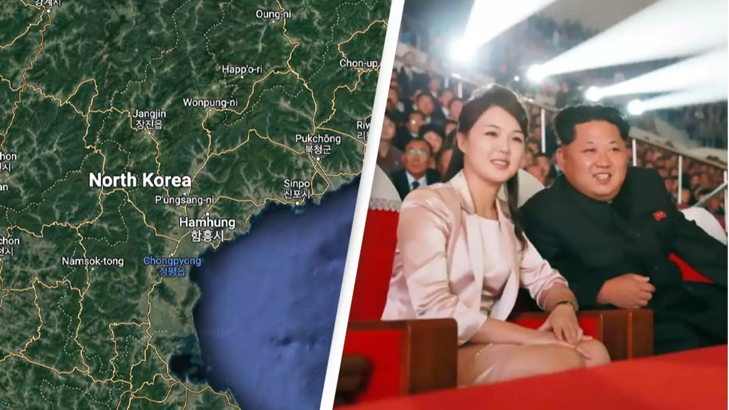

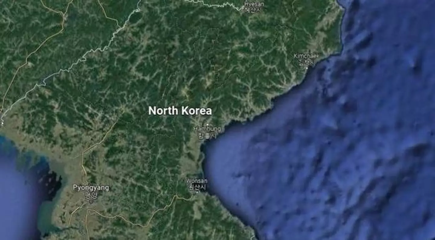
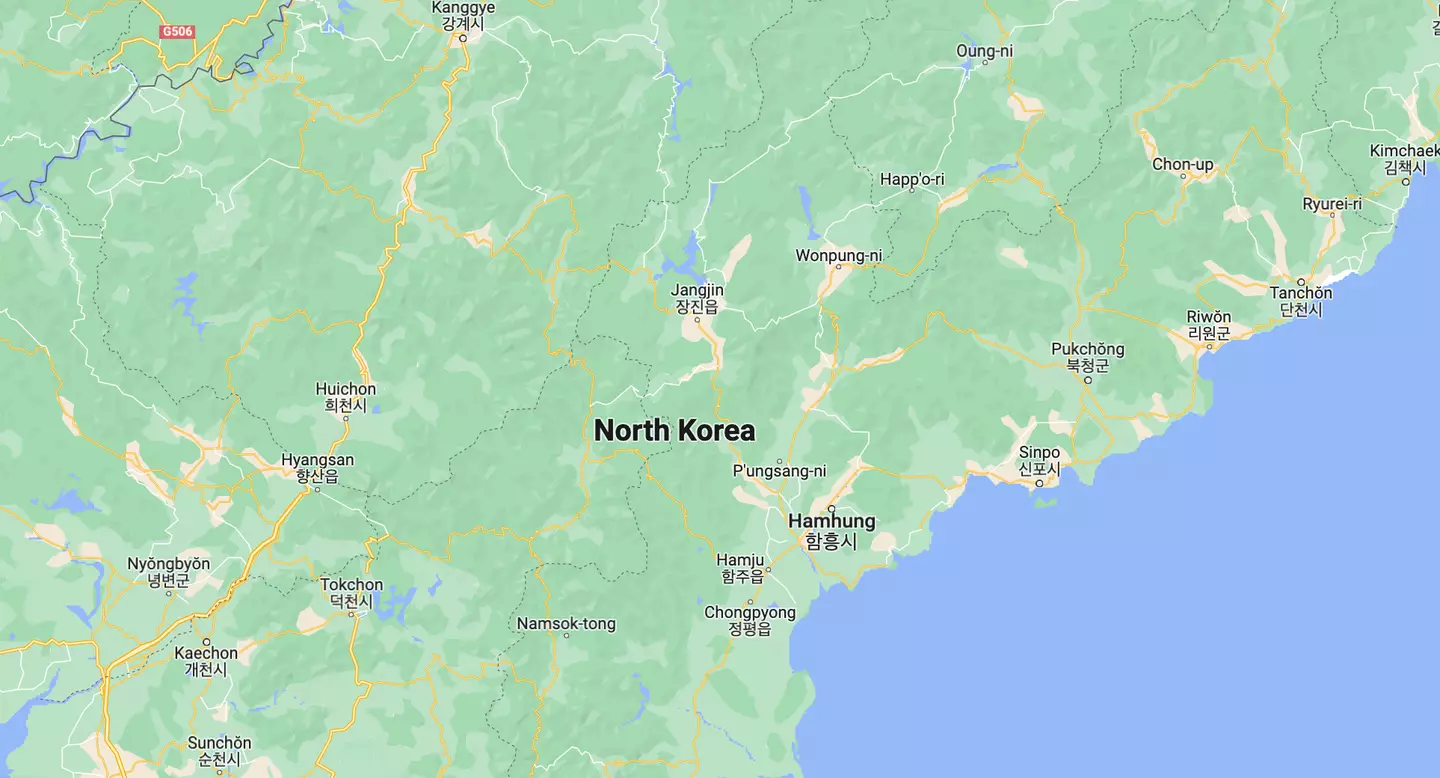
North Korea is one of the world’s most secretive states, and people are discovering much of it is also hidden on Google Maps, leaving users speculating what supreme leader Kim Jong-un is hiding.
Google Maps users are currently not able to use the website to see much of the country that has very little contact with the rest of the world.
While it is not unusual for people and animals to be blurred on Google Maps across the globe, the only details of North Korea that can be seen on Google Maps are the names of cities and mountains.
Advert
Roads appear nameless and the many towns and villages dotted around are blurred. Users are also unable to zoom in and view details of the country. Normally users can zoom in on almost any street around the world to see what it is like and navigate the roads.
The reason North Korea is hidden on Google Maps is unknown, but it is speculated that the lack of access western companies such as Google have to the country plays a role into the secrecy of the country.
Advert
One possible explanation could be a protection of privacy, so the country can hide government or military locations from potential threats.
It is speculated that North Korea may also be trying to limit how much its enemies understand about its military ability, by hiding the kinds of technology it has and the locations of its army.
Very little is known about the hermit kingdom, which has been ruled by Kim Jong-un since 2011. The few details we do know about North Korea come from stories shared by people who have fled the country.
Known as ‘defectors’, a number of North Korean citizens have snuck out of the country at great danger to seek a new life.
It is believed that more than 26,000 citizens have escaped from North Korea since the Korean War from 1950 to 1953. While some end up relocating to China, many of those who flee end up in South Korea.
Advert
Researchers are able to match the narratives of North Korean escapees with Google Earth satellite images to map what happens in the country.
The Korean Peninsula has been divided into North Korea and South Korea since the end of the Second World War in 1945. A tense border, which is known as the 38th parallel, separates the two countries and still occasionally causes disputes.
South Korea has ambitions to one day reunite the Korean peninsula and even has a Ministry of Unification which is responsible for this goal.
If you have a story you want to tell, send it to UNILAD via [email protected]
Topics: North Korea, Google Maps